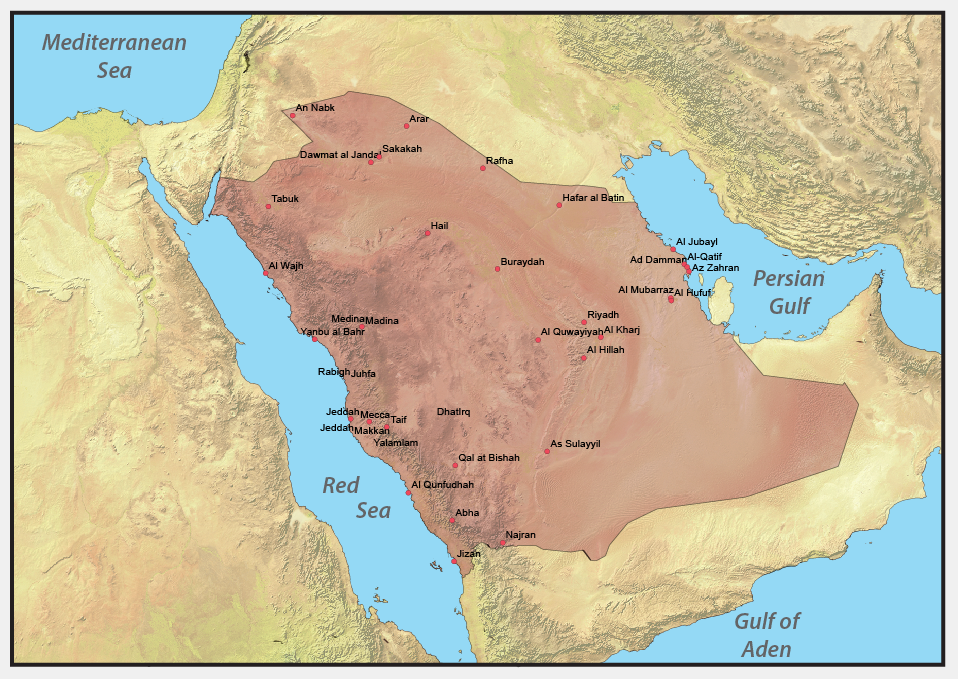
This map was a simple visual aid used to show the boundary of Saudi Arabia along with some major towns in the country. This map was created using ESRI ArcMap, Adobe Illustrator and Adobe Photoshop